As much as we’d wished otherwise, our last hike wasn’t the best. Lockdown had capped our numbers and reduced the range of where we could go. The booking of pubs created a constant sense of awareness of pace, and the weather… well, it wasn’t as wet as we feared but between it and some pretty old boots it was enough to create sore feet, and sore feet do not make for happy Idiots. We needed our hike mojo back.
So it was perhaps forgivable to view this next one with some sense of trepidation. We went through the motions of creating a new WhatsApp group and adding prospective invitees to it, some of whom were returning familiar faces who we’d been unable to hike with for two years at this point. Others were new recruits, willing and eager. There were some who wanted to attend but were for various reasons regretfully had to pull out. And there were some who just left the WhatsApp group without a word.

I may have made my, um, reservations about walking around the Crowthorne/Sandhurst area known to the boys and this was taken into account with the route. Basically, based on my whinging about nothing being local to me Mat decided to plot an absolute beauty of a route around Marlow. We opted to keep it circular, which isn’t our preference, just until things get truly back to normal (or as close as they can get) but it did the business, taking into account loads of the highlights Jen and I have discovered in the area since taking up lockdown walks like the rest of the nation.

The route as ever is gently tweaked and amended but it doesn’t need much work. John suggests changing the route to remove Hambledon so we could walk along the river. This is rejected given that Hambledon is a a gorgeous old rustic village used as a filming location in almost everything and a nice part of the world. Bear that in mind for later.
Beyond that, the only task left to do is book the pubs, which as mentioned above remains a Covid annoyance. The England match happening on the evening adds another thing to manage in terms of finishing on time, but it can’t be helped. This is all very much first world problems by this point.
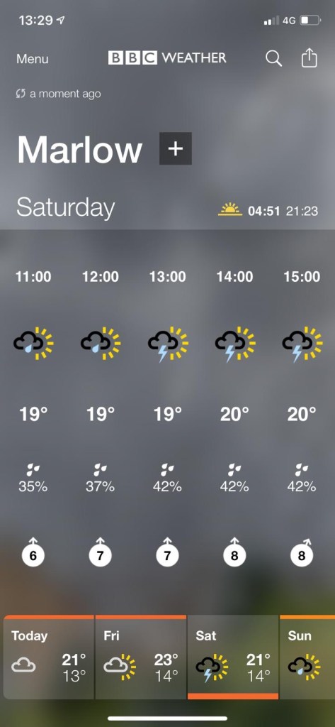
The last source of frustration was the forecast. You’d think in July the thing to worry about would be the sun, right?
The hike grows ever closer and travel arrangements are made. It’s all coming together nicely, although we do have a couple of last minute drop outs. The trains are hellish for Clyde to get to the start on time so he crashes at mine the night before.

After a hideous night’s sleep (in separate beds) Clyde and I arrive in Marlow. Arran, who was my housemate in uni, is waiting for us. I’ve been wanting Arran to join us for ages so I’m really pleased to see him. Henry, who worked with John a while ago arrives soon after and we introduce ourselves. Hike veteran Pete arrives shortly after that and the pubs opens to let us in for breakfast. It’s not long before John and Alan rock up and the group orders various fried goods and the conversational tone plummets to its usual depths. It would be uncouth of me to say what about but I’ll never look at a bic razor in the same way again.
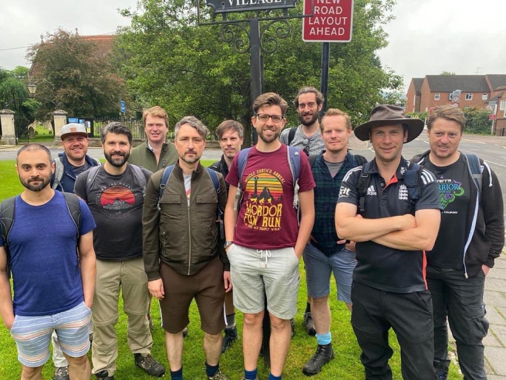
Once we’ve finished breakfast, which Pete kindly buys (we owe you, Pete) some additional last minute supplies are purchased, including some swanky cheese which Henry buys from a swanky pop up market stall outside the pub. The rest of our attendees have turned up by this point so we make introductions, (Mat and Swatty arrive along with hike virgins Max and Wynand) get the obligatory start of hike photo, set our paedo-meters and head off.
Our route starts by taking us immediately over Marlow Bridge, a suspension bridge built in the 1830’s that’s a Grade I listed building and with its perilously close iron traffic control measures is the scourge of all drivers in the area.

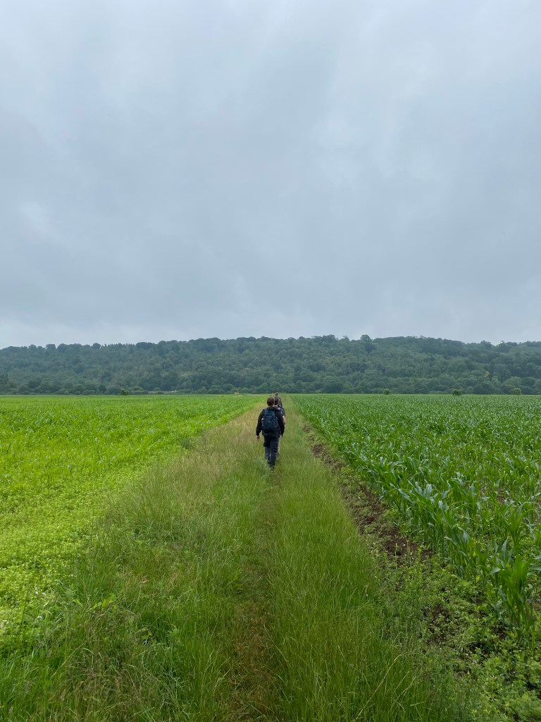
Very soon after we leave the road for a public footpath that takes us across a field and towards Bisham Woods that looms above us.
It’s not long before we realise that our map should be leading us straight on towards the hills via a tunnel that runs under the road ahead, but our route is veering right with no tunnel in sight, just more hedge. Fortunately we spot a jogger running parallel to us who vanished into the bushes, and adjust our route to match hers.

As if by magic a gap in the hedgerow appears and we found ourselves in the creepy, ominous tunnel that we tried to find years ago back in Hike IV. We love a creepy tunnel, so it’s a bit of a treat.

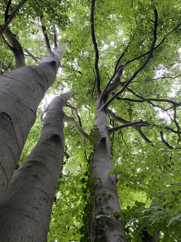
We enter Bisham woods which almost immediately takes the form of seemingly never-ending steep hills, some of which are made of wet chalk. Little do we know that uphill will be a feature of this hike. This will make up for all those missed leg days, won’t it?
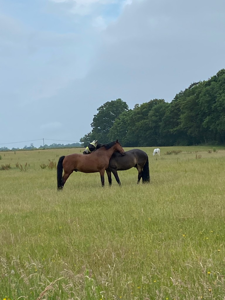
After what seems like an age we leave the woods (with little photographic evidence) and emerge into a series of fields and woods. We notice it’s exceptionally muggy, but are consoled by the beauty that surrounds us…
Oh yeah, and this very dead burnt out car.

In his new role in health and safety Arran can’t quite get behind this, but like others in the team he cracks open a hip flask to put his worries to one side and we enjoy the spectacle.
To be fair there was a few other dead things and dilapidated buildings along the way that I could’ve included in addition to the aforementioned May/poo bag combo, but it would’ve lessened the impact of the VW voted most likely to fail its MOT. It’s not like we don’t have photos of them all. John really likes making us get photos of dead things. He also collects pictures of condom machines in pub toilets, the weirder the better. Don’t ask.
From here on for a little while we swap out woodlands for fields:

Soon after the route tells us we need to take the public footpath through Temple golf course, and we do so, our group disturbing what seems like the only two golfers on the entire course, although they seem happy enough to let us pass. We climb the discrete footpath onwards.

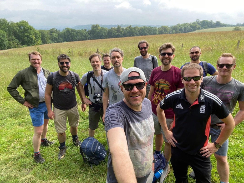
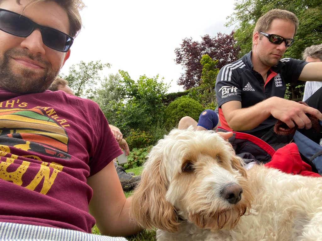
Shortly after we enter the grounds of the Berkshire College of Agriculture, where the sun finally comes out and we take that selfie from the start of this post.

Everyone is quick to put their sunglasses on, which seems like a really great idea until we enter some dark woods. When we emerge on the other side the sun’s gone in. It’s still muggy, which the shades do nothing whatsoever to help with, but at least we look cool now.
Coming out the other side of BCA we ascend and then descend Ashley Hill, with half our number getting a bit lost on the ascent and needing to go off route to catch up. In their (our, I was one of them) defence, there’s lots of paths and it’s hard to tell one from another. This happens again after we regroup but with a bit of trial and error we find our way onwards.
At the bottom of Ashley Hill we cross the A4 and are dismayed to see that plotaroute has done us dirty as the public footpath through the farm we need to take doesn’t exist. Fortunately I know of another one but it adds a fair few minutes finding it and then looping back to where we should be.
The footpath is round the back of the Bell and Bottle pub, and given that we’re meeting Rob at the Old Bell and we know he’s anxious about missing us, Mat does the only sensible thing and sends him a picture of the Bell and Bottle, telling him we’re there and trusting that Rob will assume the worst. This gets the desired response and we let him off the hook; we’re not monsters, after all.
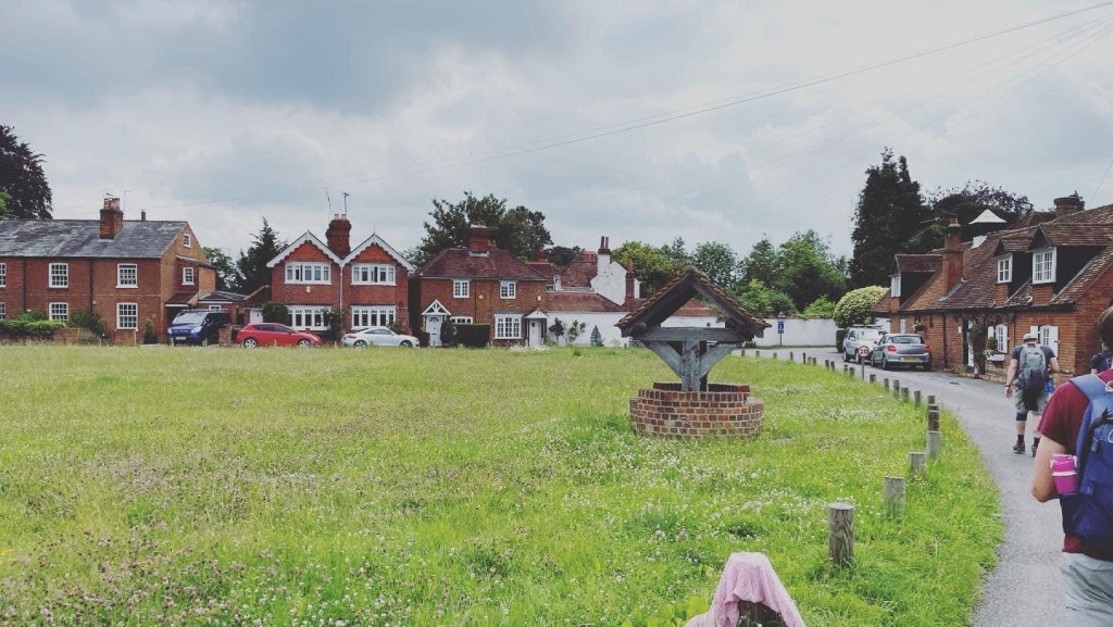
The farmland route takes us on to Littlewick Green, a stunning little village built around a cricket green, seemingly hidden from the world and the progress of time. It charms everyone as we wander through, quite grateful for a brief change of scenery.
We find a well, so Alan does the only sensible thing and climbs in it. We also pass Redroofs school (one of them, at least) and the home of Ivor Novello, famed composer and entertainer. This is quite exciting until we realise the person to have most won the award named after him is Gary Barlow, and we depart the village, suddenly feeling unclean.

Minutes later we’re back onto the farmlands, where our path takes us directly across the field in one of those footpaths you know is a massive source of frustration to the farmer.
Between the steep uphills, the route confusion on Ashley Hill, and the lack of entrance into the farmlands we’ve fallen quite behind so we endeavour to pick up the pace. Normally it wouldn’t be an issue but our pub booking is due to start imminently and after nearly four hours of walking we’ve all got a thirst on.

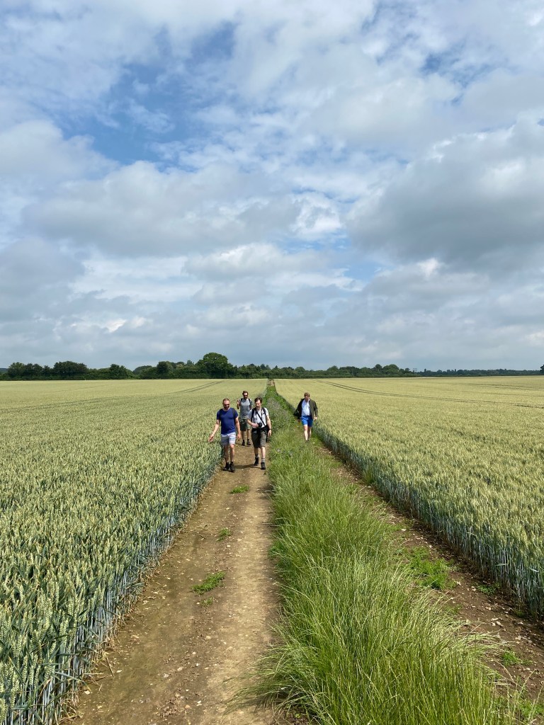
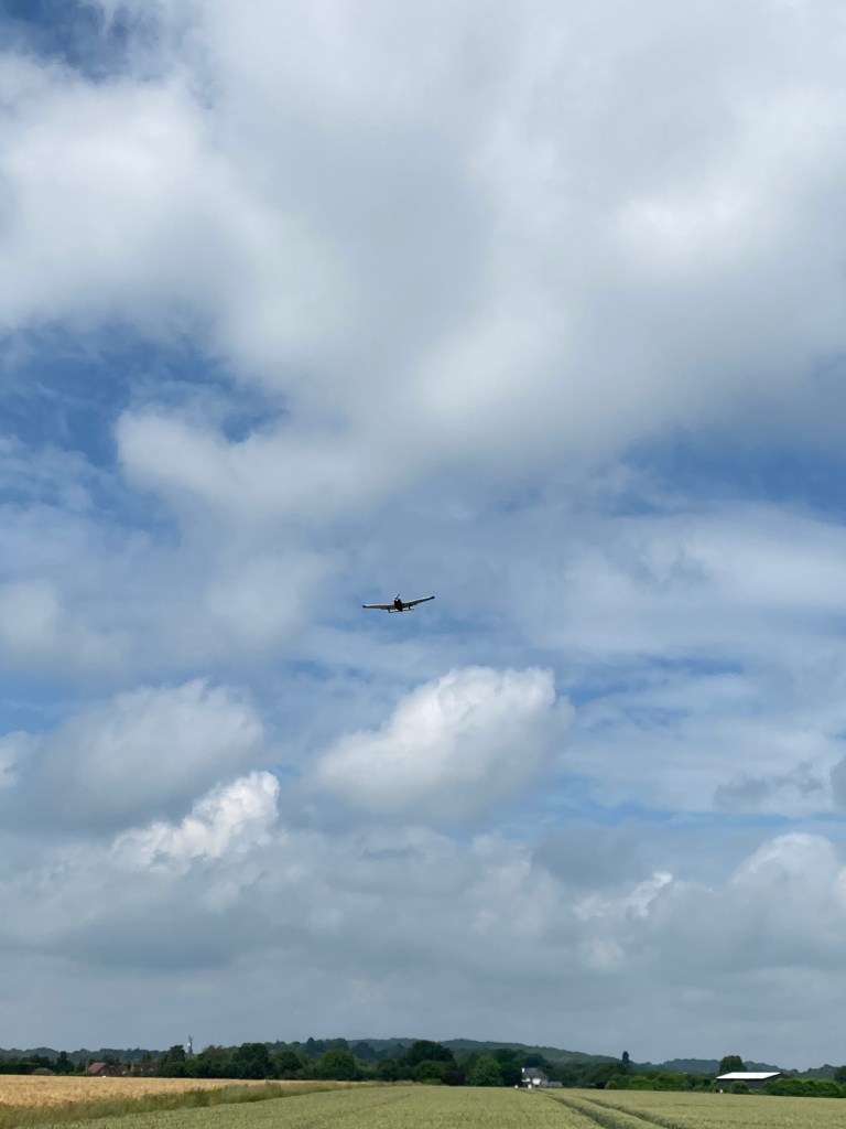
The problem is the wheat fields are really quite beautiful, stretching off in every direction almost as far as the eye can see. We even almost have a North by Northwest moment because of the nearby Waltham airfield.
Getting to the far end of the field we cross the railway bridge and continue down the country lane which is a firm favourite of MAMILs all over Berkshire before entering Shottesbrooke Park, the stunning parklands of a sixteenth century Tudor mansion.

I lead the way with Wynand as we reach the church next to the mansion.

The real treat though is the passage between the church and the walled garden of what may have once been a monastery:

Everyone loves this (especially John, and I think Alan is tempted to paint it) and I take no joy in driving everyone on in a passive aggressive way for fear of losing our pub slot (bloody Covid). Fortunately for me I shared the route with my local guitar group and Nick from the class has decided to join us at the Bell, and he’s just arrived there. He calls and I get him to claim our tables, abating my anxiety. We leave Shottesbrooke, Swatty asking us detailed questions about hike rankings and how many need to be attended to get on the leaderboard (this stuff matters, ask any one of us.)
Minutes later we enter Waltham St Lawrence, where Rob is waiting for us by the church next to the pub. We are of course delighted to see him, as he represents a symbol of hope for us all, even the guys who’ve not met him before.

The Bell Inn of Waltham St Lawrence is a fifteenth century (not fourteenth, apparently the sign is wrong) wood panelled pub. This alone would make us inclined to like it. They serve a good range of beers and decent food.
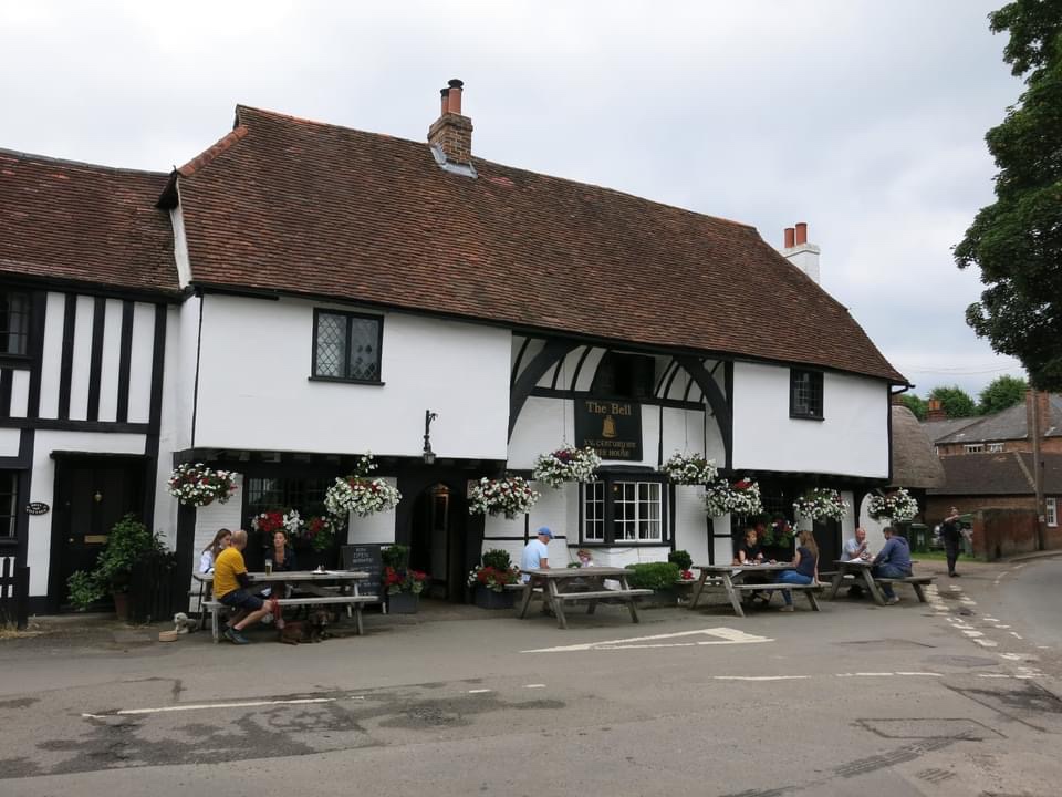

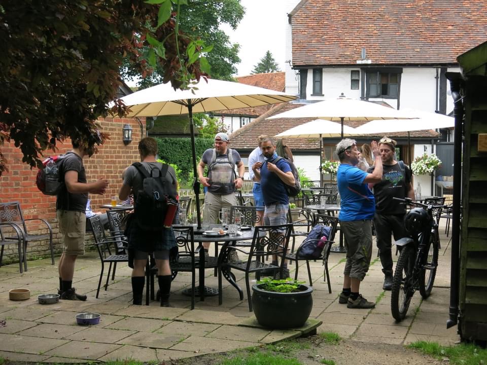
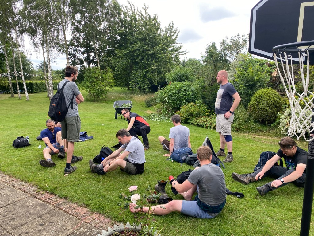
Nick is waiting for us in the garden. We settle in and order drinks and start the standard hike break routine, namely making old man noises as we sit down, changing our socks, and sorting out foot tape if necessary. Beers turn up quickly and when we ask for water the staff offer to fill up all our water bottles, making the Bell shoot right up there with the very best of pubs we’ve visited on hikes. They even did some quick maths to help our tired brains split the bill fairly.


Swatty sagely observes a large number of attendees checking in with their respective other halves which earns some rather self conscious laughter all around. The second pints being ordered as well as some food does rather impact our pace, but we’ve walked for over ten miles by this point and are enjoying ourselves far too much to leave.
Finally we depart, briefly allowing a diversion into the church next door to appreciate the stunning Yew Tree in the church yard.

Our route takes us back into farmland, and we have to follow the public footpath right through the centre of the farm, which must be even more inconvenient for farmers than those paths that run through their fields. We know we’ve got to pick up the pace but we are two beers deep so really our speed is unchanged, possibly slower. I get a buzz as I learn Max is a Silmarillion fan and we lose a couple of miles geeking out over the Istari, Maiar and other niche corners of Middle Earth.

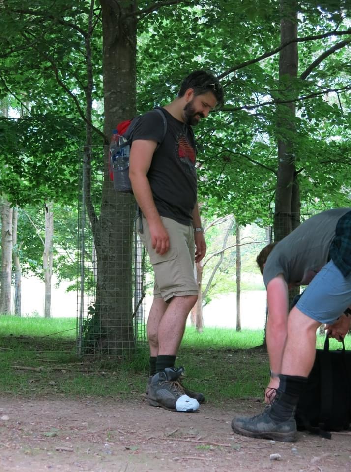
It’s not long after this that the farmland ends and we reach Castle Royle golf course, where a long, narrow public footpath runs through the course. The path is framed with dense bushes on either side and nettles have spilled out onto the route. There’s lots of awkward lunging and twisting to avoid the worst of them, and Arran voices his regret about succumbing to peer pressure and changing into shorts at the start of the hike.
We enter Knowl Hill which is, yes, another hill. It’s gruelling, and much like Bisham Woods our priorities are adjusted so no photos are taken for some time. Swatty and I are busily chatting away and wonder aloud why we’re out of breath until John points out that we’re the only ones chatting in earshot, everyone else is focusing on the task at hand.
Knowl Hill eventually becomes Crazies Hill, which is great if you like hills. (We’re cooling on them by this point.) We pass Rebecca’s Well, a Grade II listed Well house built around 1870.
The inscription on the well reads, “Rebeka and the Servants of Abraham at the well of Nahor. And the servants ran to meet her and said let I pray thee drink a little water of thy pitcher.” I know this because I lifted it straight from Rob’s Facebook post about it, so it must be true.

Next to the well sits a house with a garden railway that gets Rob all a-flutter but it’s in some degree of disuse and the foliage is too dense to get pictures. Proceeding through the hamlet of Crazies Hill with their seriously nice houses we take a footpath that leads to a very green series of corridors. A drone flies overhead and we pass a field of alpacas (or funny looking dogs, as Alan may have once referred to them).
It’s around here that we take a brief break to stop by Henry’s step brothers’ house, where we have been offered a quick refreshment. They’re very courteous with their food and drink but we are so sweaty and horrible by this point that some of us feel a little uncomfortable stinking up their beautiful garden. If you’ll allow me a second Tolkien reference it’s not dissimilar to the dwarves rocking up at Rivendell. Fortunately there is someone there who does her best to make us feel at home.

Molly took a particular shine to Pete and Alan, or at least liked their smell the most. Henry’s step brother’s garden was a thing of beauty but I didn’t feel it was fair to take a photo of their garden, even if it was for illustrative purposes, so here’s another Molly picture.
Mindful of the time (god knows how late we are at this point) we resume. That same drone from earlier sees us off and I’m told it was Henry’s step brother’s. Sadly it didn’t get any pictures which would’ve been amazing. Our next pub is The Flower Pot at Aston, near Remenham, but they aren’t bothered about bookings so there’s no urgency there other than for those who want to get back for the football or have rotten journeys home.

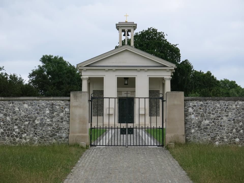
It’s not long after this we enter Remenham, more specifically the stunning Culham Court estate, which includes an excellently maintained parkland, herd of white deer, a chapel/mausoleum, ha-ha, follys and a mansion. (We’ve covered this on the Hike IV post on this site. Alternatively for a more factually accurate – but less entertaining account – wiki Urs Schwarzenbach if you’re interested; there’s serious money at play here. Also VAT fraud and art trafficking.)
Perhaps most remarkable of all, to a few of us at least, is that coming up the hill is Grant White and his wife. Grant was in our (Mat, Alan, John and my) year at school, and we’ve known him for over thirty years. We’re quite surprised to see him, for some of the group it’s been an incredibly long time. Quite randomly while chatting to us he gets a text from Charlie, who was also in our year at school, and all this coincidence unsettles us, so we wish him well and crack on.

We collect ourselves for the last push before the Flower Pot. Rob and I nip up the hill to get a picture of the chapel, while John and Max conduct some guerrilla repairs on his boot.
A short while later we arrive at The Flower Pot, a pub which blew our minds back in Hike IV for its impressive display of taxidermied animals, rustic setting, massive pumpkins on the benches (in autumn) and warm customer service. Presumably they’d got wind of how much we loved The Bell and took offence, because we got a warmer reception from the dead animals than the staff this time around. The pub wasn’t especially busy and while we might be a bit gross after eight hours of walking we’re very polite, so the experience rather confounded us. Max kindly bought the round when the staff offered no help in terms of splitting the bill.

It’s at this time that we decide to amend our route for the last stretch. We’ve about five miles left and feet are starting to get sore. We’re sick of hills (how is a circular walk almost entirely uphill? It’s like an Escher painting!) so Hambledon’s cut and a more direct river route added in its place. Turns out John’s suggestion was right after all.
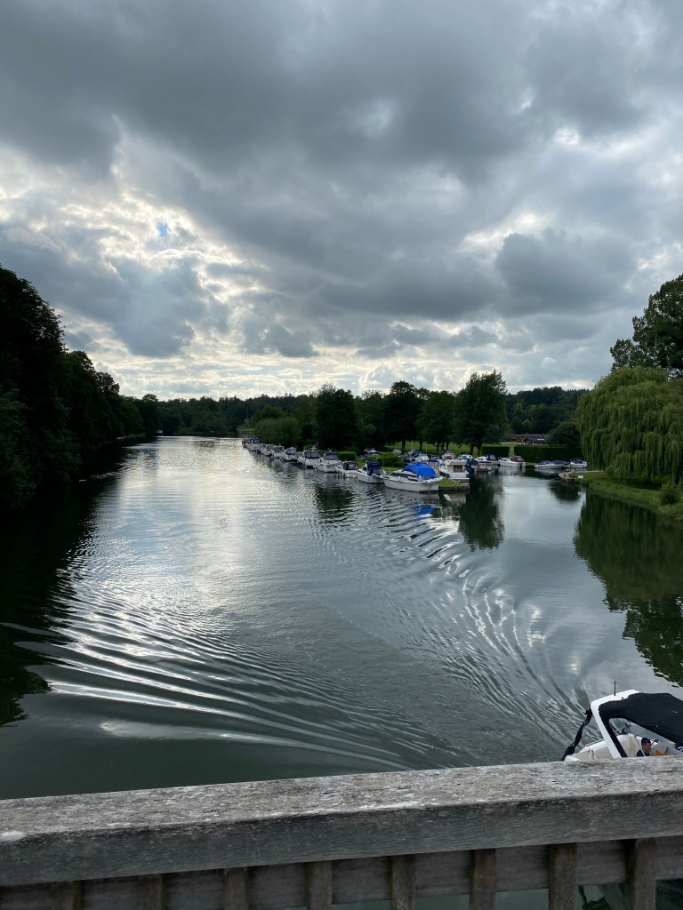
We set off on our final stretch along the river, passing through Medmenham, Hurley, Temple and Bisham. Fuelled by a sense of finality, and a desire for football, rest, or curry, we soldier on, with gaps forming amongst us owing to pace.

A section of us pause on Hurley bridge. Henry catches us up and asks us to wait for the stragglers, which we agree to. We don’t mind, the bridge is beautiful and we’re feeling pretty good.
When the others catch us up, Clyde informs us that John proposed a shortcut to help them gain ground (basically a straight line cutting out the bends along the river the footpath would take). This was great in principle except this short cut went from moist, to boggy, to full blown marshland. Also apparently John led from the back so he could judge what route he could take from their mistakes. I think this was an excellent strategy. Clyde told me all this in confidence so obviously don’t tell anyone.
The remaining miles are your standard issue Berkshire riverside fare:

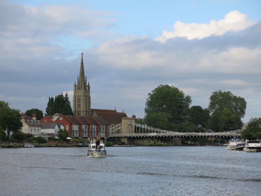
Upon reaching Marlow we regroup in the park next to the river where someone has thoughtfully set up this finish line for us all.

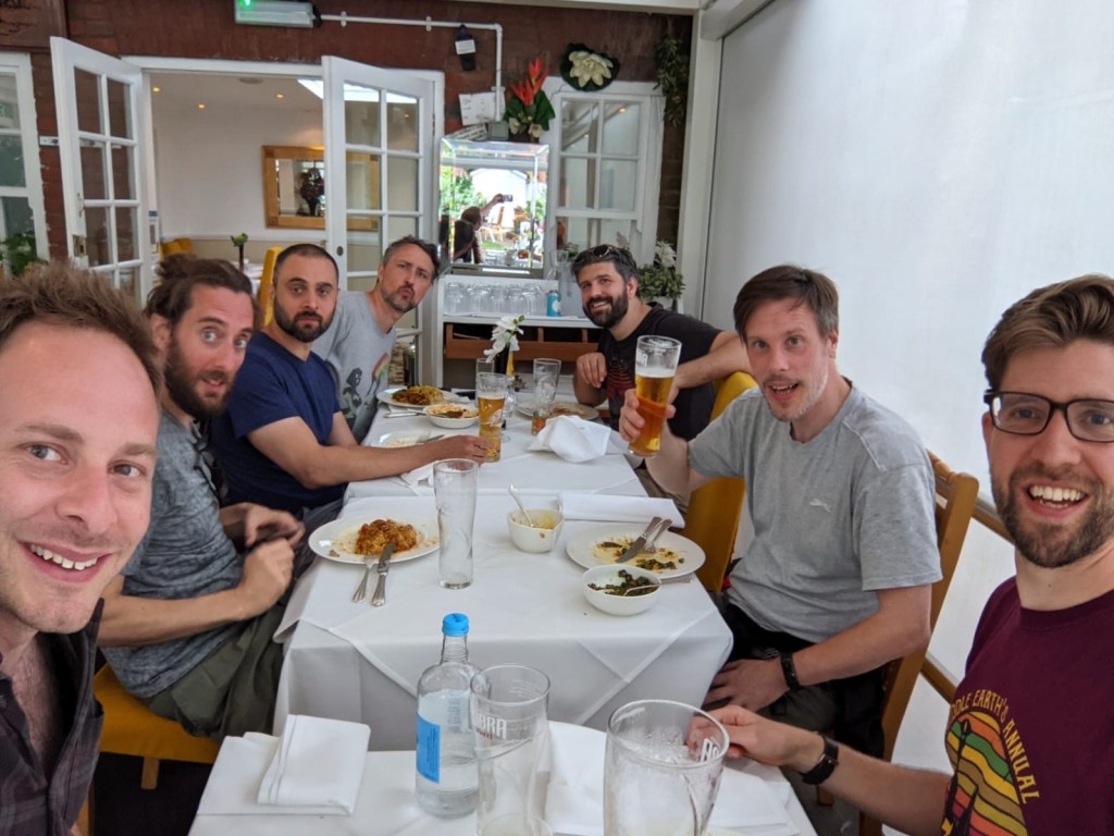
We give ourselves our congratulatory pats on backs and the bulk of the group disbands to travel to London, Rochester or home to catch the start of the football. Our remnants go for curry, which is worth it because a) excellent curry, b) the staff are appalled by the state of John’s boot. They seat us outside so we can’t stink up the joint and that’s fine by us.
Working on reduced brain power we struggle to read the menu but our real challenge comes when we try and work out how to get us all home in two cars, which is sort of pathetic really.
And that, Dear Reader, is how you finish a twenty five mile hike. With beer, curry, good friends, and the sense of self delusion that you definitely don’t have any blisters. Oh, and England won 4-0.
Until next time.

Thank you Nick and The Walking Idiots for another epistle report of your marathon of fields, history, beer, nature, beer, boot failure, beer and comeraderie.
LikeLiked by 1 person