
This one wasn’t going to be a blog post.
Under normal circumstances it wouldn’t be. But owing to a) the world shaking, sort-of apocalypse massively disrupting the plans of everyone in the country and b) the fact Alan insisted it would irritate John, things changed.
In an alternate, non-Covid reality, by now you would’ve read the blog post for Hike 10 (or ‘X’) of the Walking Idiots. We were intending to – and one day will – hike from Guildford to Merstham/Redhill, continuing our installments along the Pilgrim’s Way, where hopefully I can get my ridiculous Pilgrim’s Passport finally stamped. (This is a super niche in-joke linked to the last blog post, and even then, only one I expect about four people to get it, so don’t let it put you off.)
Anyway, as you all know, circumstances changed beyond anyone’s control and instead we found ourselves unable to deliver our much-needed amble. Needless to say, everyone was disappointed/annoyed/peeved/crushed, but it couldn’t be helped.
Not that we let this stop us entirely. Some of our number met when the lockdown rules were first eased, but only in the permitted groups of two. John, in particular, managed to meet with several of the crew over a long weekend and enjoyed a range of walks around Berkshire and Surrey. Reflecting that each hike reflected the personality of the person he went with, he summarised the experiences accordingly:
1) A tour around the deeper reaches of the forest, searching out the homes of sexual predators and discovering lost, dark, secret things amongst the silent trees. (This was with Ross, of Hike 1 infamy, channeling a sort of Twin Peaks-esque vibe I’ll never be interesting enough to imitate.)

(Pictured: a lost, dark, secret thing, and the home of Pizza Express Woking branch’s most famous guest.)
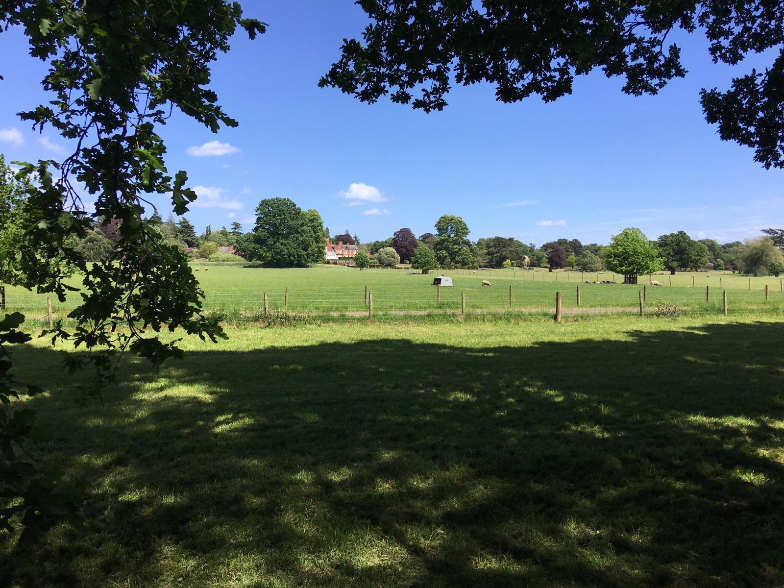
2) A well planned, orderly stroll around a very English countryside. High-brow and pleasant, with unexpected twists and turns. Too many hobbit jokes to count. (Yours truly, obviously, although I’m certainly not high-brow.)


(Class act, mine.)
3) Familiar, comforting route liberally scattered with perverse, disgusting jokes. (Rob) Note, no pictures as they were too busy laughing.
4) Lost, filthy and bloodied after about 15 minutes, went nowhere in particular. (Alan) Note, again no pictures as they were too busy getting lost.
For what it’s worth, Rob and I also caught up, and managed a little 10km walk around Warfield and Frost Folly Park. The route covered the area we drive through on the way to visit my in-laws, and I’ve been convinced for years that there was a good walk there. Nice to be proven right.

Anyway, fun as these are, the real reason I’m sharing (primarily) John’s adventures is because when the opportunity came to put in a walk with the crew, he couldn’t make it. This is pretty unthinkable: every hike and mini-hike to date has included or been organised by John. A hike without John is like the Beatles without John, or the Apostles without John, or the Terminator franchise without John (take that, Dark Fate.) It makes you wonder: if John isn’t present, can it even count as a Hike?
(The answer is yes, but only if I’m there to blog it, FYI.)
From a selfish perspective, John also often sends me notes of the events within a hike, which often form the spine of these blog posts. I’m operating without a net here, people, although this was so much shorter than our usual walks, what could possibly go wrong?
In terms of planning, not much. Since lockdown began, Jen and I have been smashing out long walks in our local area (Maidenhead) and have bought several books of routes to help us out.

(Like this sexy beast)
I appreciate everyone’s just trying to get by at the moment, and I’m sorry for anyone who’s suffered during the crisis, but I’d be lying if I didn’t say there’s been several perks to lockdown, and getting out and exploring has definitely been one of them. Between this and a few OS sites, that’s how I was able to “plan” my super organised mini hike with John. I basically had very little to do with it. One of the books had a route which started and ended in Crowthorne, and as a convenient location for everyone, it seemed like a natural choice.
I did think the route looked a little short for us, so I spliced in another few kilometres from another route that overlapped with our one.
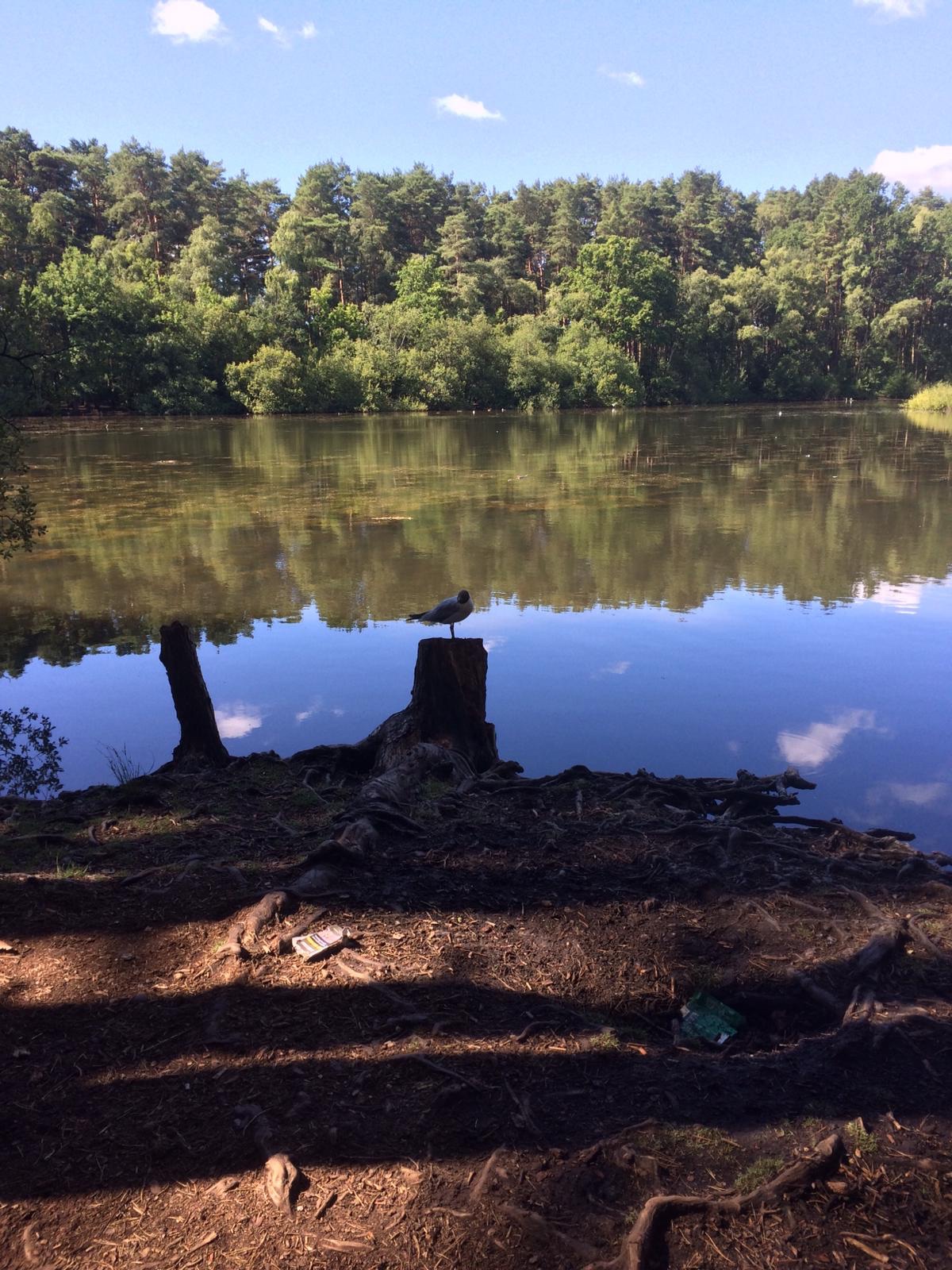
We agreed to meet near the starting point, deciding that Heathlake Park would probably be the best place to leave our cars.
Heathlake Park is a huge chunk of nostalgia for me. My family and I used to walk round it almost weekly, and when I told my family I was heading there, my brother even wanted photos sent through (I FaceTimed him too, just for good measure.)

It’s quite nice, really. Just very odd coming back.
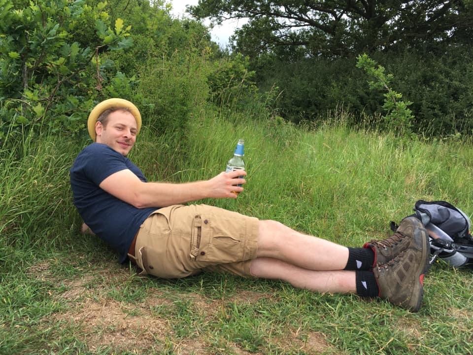
Anyway, I soon met up with Alan who was chilling with this gull.
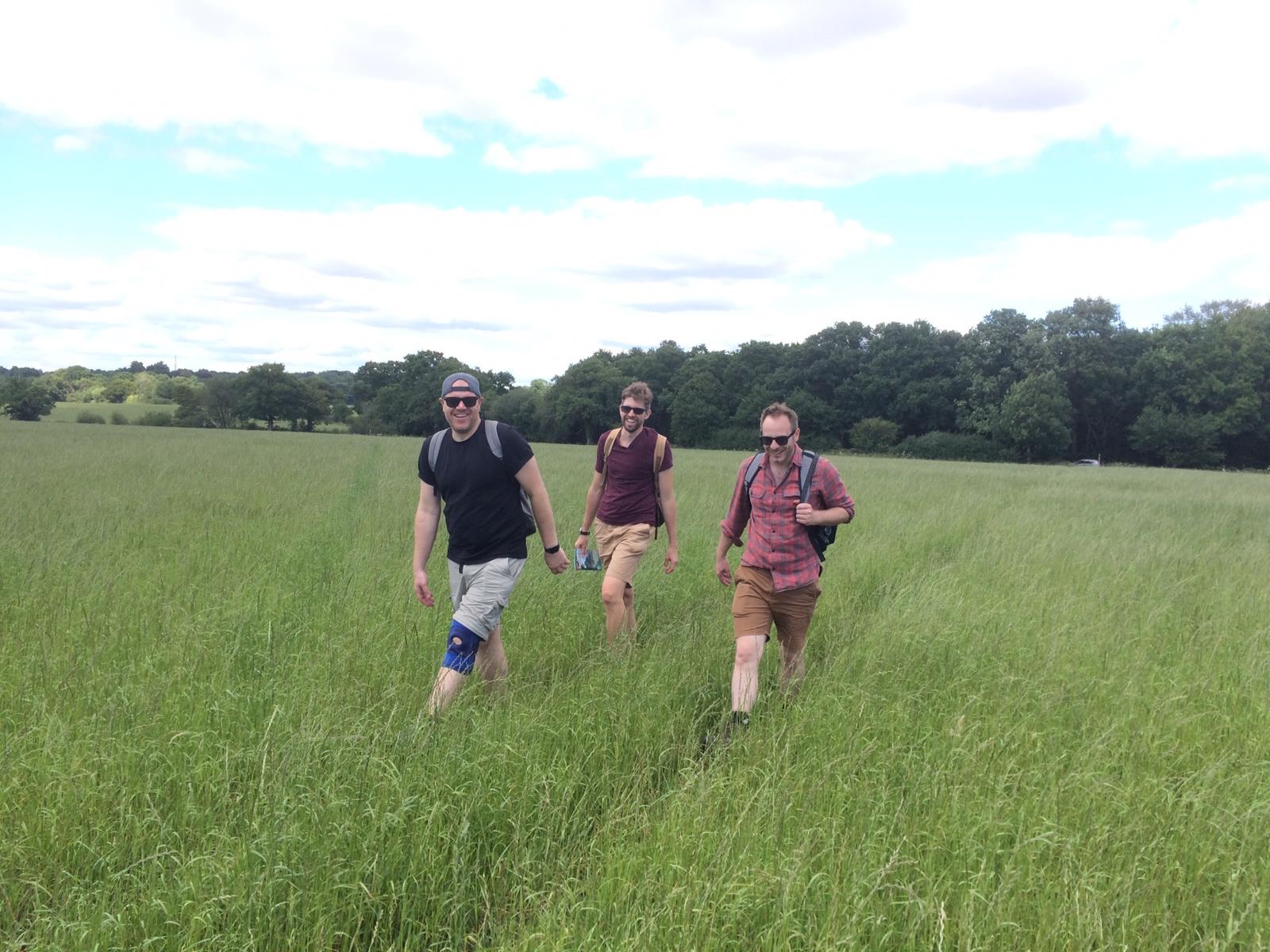
Rob and then Mat soon joined us, we took a couple of obligatory start of hike pics, started the run tracker app, and set off.

The funny thing about this walk was we’ve done plenty of hikes that start in Crowthorne, but with the exception of our mini hike at Christmas, we tend to head out and leave it behind like Frodo leaving the Shire. This one spent a considerable portion of it within Crowthorne itself, and we soon found whole chunks of routes we’d not encountered before, despite all growing up there.
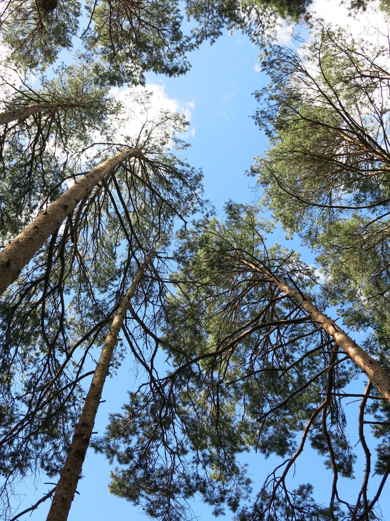
The spliced-on start of our route took us through somewhere called the Gorrick Plantation, which is basically a series of woods which most of us didn’t even know existed. Despite the lack of familiarity with the route, I was suddenly sixteen years old again as the very Crowthorne-like sights and smells of woodland consisting almost entirely of pine trees and rhododendrons surrounded us.
Like a map reading genius, I’d planned our way to meet exactly where the ‘official’ walk was meant to start, and we soon arrived at our proper arrival point. Other than Alan picking up one of those pieces of plastic that holds beer cans together causing me to swoon a little, and some very nice houses tucked along the way, there’s probably not too much to say about this extra 3km triangular warm up route.
Completing this additional mini loop, (the pre-amble, you might call it if you were feeling especially witty) we reach St Sebastian’s Hall, home to many of Rob’s teenage parties, grab the obligatory selfie, and start the actual route.
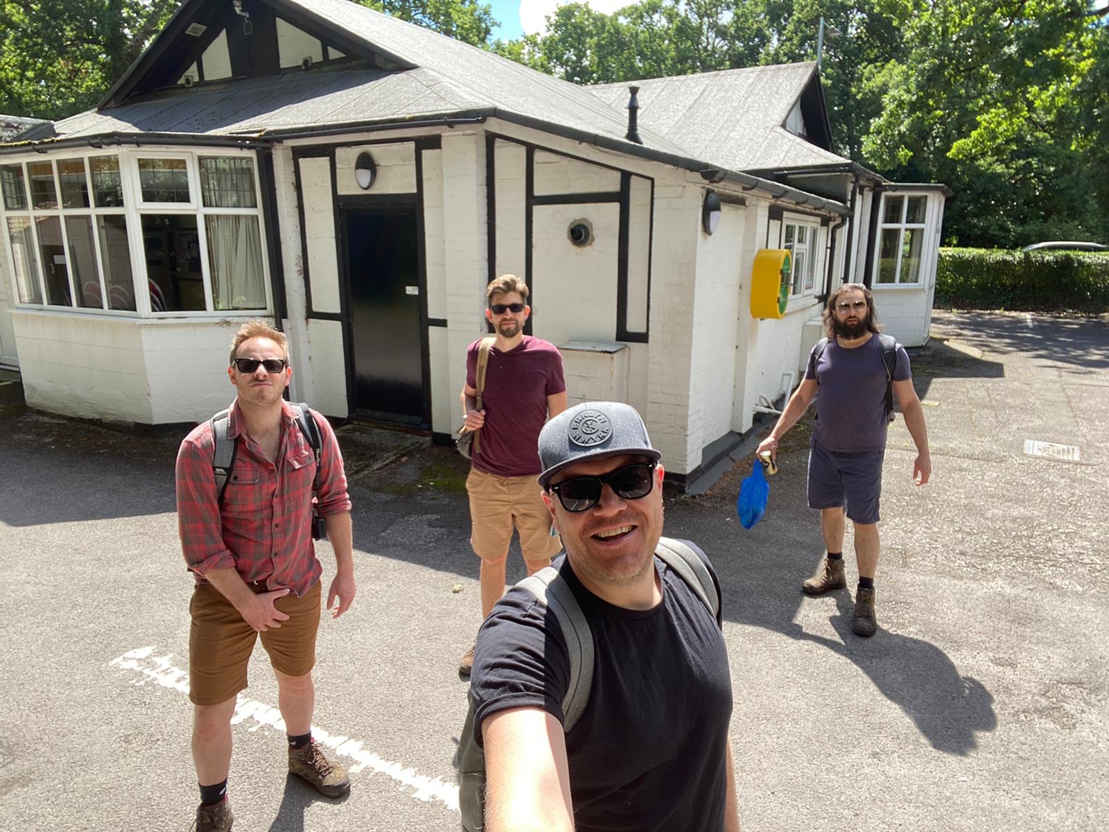
(Pictured: Rob, grabbing his selfie.)
Hilariously, at the point where the book advised us to cross the Bracknell Road, it described this as “leaving behind the cacophony of Crowthorne.” Anyone who’s ever visited Crowthorne will know that cacophonous is not a term one would ever really associate with the place, so we draw the conclusion that the author of our guidebook must be some sort of monk, or is possibly part bat.
Regardless of his or her origins, leaving behind the cacophony of Crowthorne, we enter Swinley Forest. We have a bit of a history of not always going the right way here, having missed Caesar’s Camp in the past. I was determined (or maybe just anxious) to avoid that this time, and stuck closely to the book’s instructions.
That being said, we did pause to get in the odd picture or two. If we made an album of this walk, this would definitely be the cover:

We did find ourselves missing John though. Here’s the four of us gazing in the direction of Kent, silently sending him love:
It was funny really, with John. Wherever we went, we felt he was with us. We saw his image in the strangest of places:
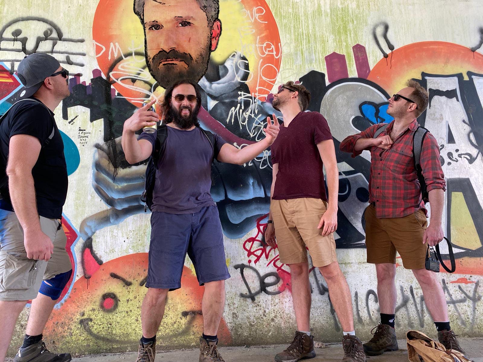
Like that guy who saw Jesus in a slice of toast. Except with us it was with underpass graffiti. But you get the idea.
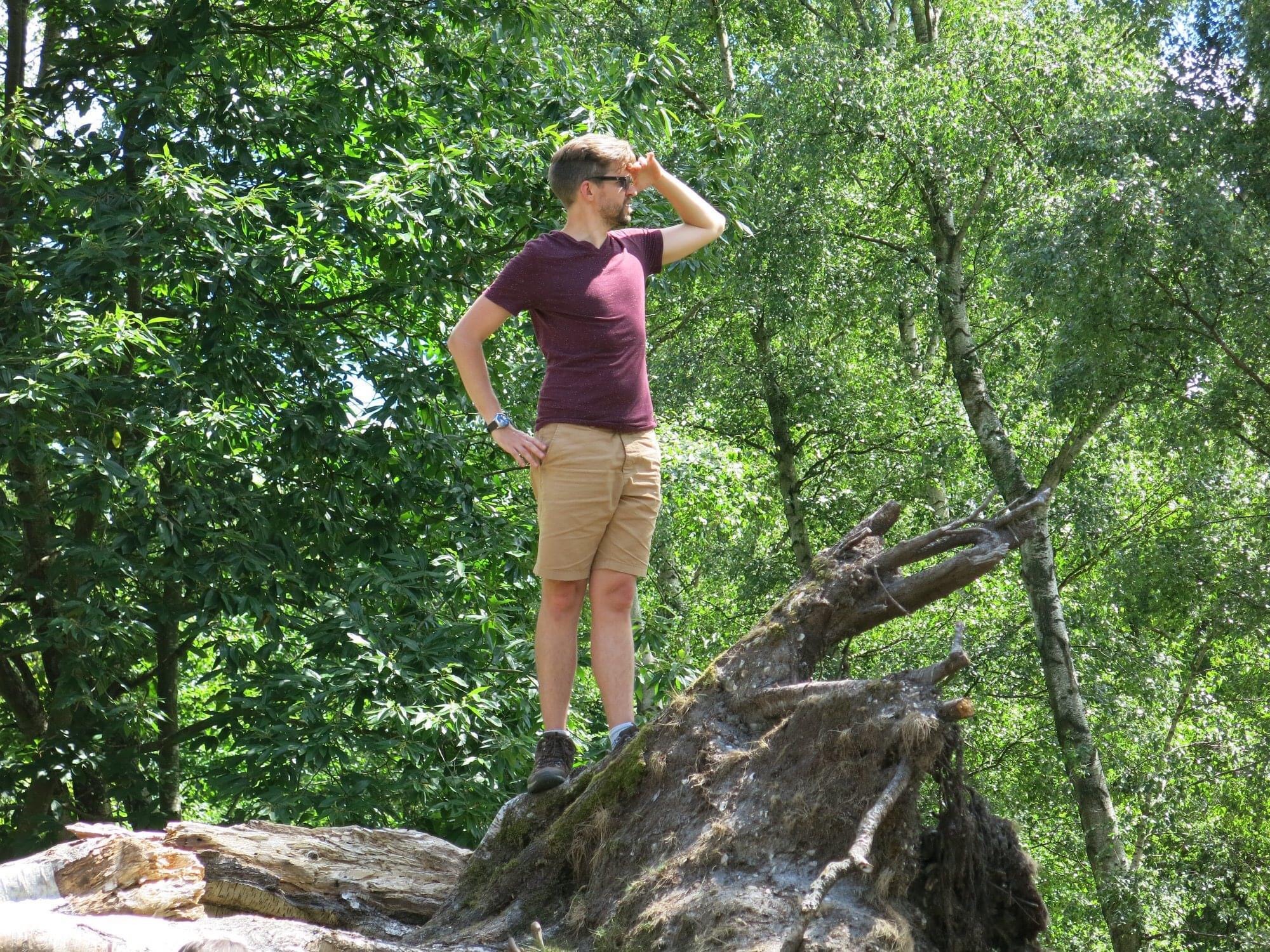
Finally, we make it to Caesar’s Camp. I for one am rather pleased: we’ve somehow never been able to include it in previous hikes in the area, and we made it just by me following various squiggly lines in the book.
It should be noted here that I have a terrible sense of direction, so this was a big deal for me. Usually it’s all John and Mat’s doing. (Although I often handed the book to Mat and asked where he thought we should go, to be fair.)

Anyway, as you can see from this fancy pano shot, Caesar’s Camp is very nice. It is, in short, an Iron Age hill fort, and from its elevated position, the whole place does have an historic, almost otherworldly feeling about it.

Which we mostly appreciated by taking photos of, and then having lunch. Lunch of course consisted of the standard packed lunches that have become synonymous with these hikes, although Mat forgot his Cornish pasty, remembered it when his wife called him to remind him, went back for it, and ultimately left it on the passenger seat of his car, where I like to think it was kept warm in the same way you keep things warm in the oven at a low heat. Whilst consuming what food (and beer) we had, we covered a deep range of topics, including depression, capitalism, and the evolving nature of the films in the Fast and Furious series.
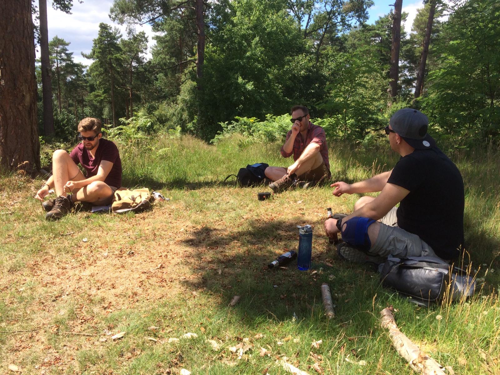
Also, Alan took a chunk of photos in addition to the rest of us, which I’ve distributed liberally amongst the assorted pictures in this blog, again showing how our roles are ever-changing. Never stop learning, people.
Or climbing trees. You’re never too old to climb a tree.
It’s not long after leaving Caesar’s Camp that we once again find ourselves on the outskirts of Crowthorne and Bracknell. Crossing a particularly unpleasant B-Road, we carry on, walking past the pub the Golden Retriever. We’re tempted to stop for our first post-lockdown pint here, but we’ve literally just had one (or two) and 3/4 of us are driving, so we make a grown up decision and opt against it. Alan merrily cracks open can no. 6 and off we go.
It’s not long after here that we walk past the Downshire Golf Club – where I had enough golf lessons twenty years ago to make me vaguely proficient at crazy golf/Top Golf – and reach Easthampstead Park.
Easthampsted used to be a part of Windsor Forest, and the lands have a history associated with royal hunting stretching back to the fourteenth century. Nowadays, its stunning Victorian mansion is a conference centre/wedding venue, which I got married in.

It was the second most beautiful thing there, that day. (Boom. That should score me some points.)
Our nostalgic reminiscing is abruptly cut short while we’re taking photographs of the building. There’s a guy on a crane platform halfway up the historic front of the building spraying it down. We watch with confusion as he starts yelling at us, imploring us not to take any pictures.
“Don’t worry, you look great!” Alan tells him. It takes us a while to realise this guy’s not joking, as he insists not only do we stop taking photos – of him, not the building – but also that we delete any we’ve taken. He probably doesn’t realise that any photos we have will show him at best as a cluster of grey pixels, given how tiny he appears. It’s only after we head on that Mat concludes it’s probably something to do with the man’s lackadaisical adherence to health and safety guidelines, as he lists off at least half a dozen violations.
Anyway, his partner/colleague approaches us, informing us that we can’t continue along the way we need to go in the book as the route is closed for maintenance. This at first appears like a bit of a setback, as without sticking to the route we might find ourselves well and truly stuck. Said partner – who’s far nicer than the spraying bloke – suggests we head along Easthampstead Park’s majestic driveway until we reach some black sign posts which should take us where we need to go. We heed her advice and head on.

This provided some entertainment on the way.
Following the black signs we enter what feels like a very private road that only has a few posh houses (that slowly evolve into farmland with lots of knackered cars) and a smattering of fields:

We caught sight of some Red Kites duelling in the air, which was of course a bit of a treat.
Leaving this rather pleasant detour, we found ourselves emerging onto Old Wokingham Road. For years I’ve driven down Old Wokingham Road on our way to Bracknell wondering where this private Road led, so imagine my surprise when I finally realise where we are.
Our route from here involves crossing some public footpaths through fields in various states of disuse:
(With more photography from Alan.)
It was around this point I started to notice that the route was a bit longer than anticipated. I check the route and realise it was a 12km walk, not 10. With the extra 3 at the start, this was shaping up a little.
Crossing a few more fields (one potentially owned by a notorious traveller) we reach Honey Hill, where we’re only five minutes walk from our respective vehicles.
It’s here we make a very important decision: pub.
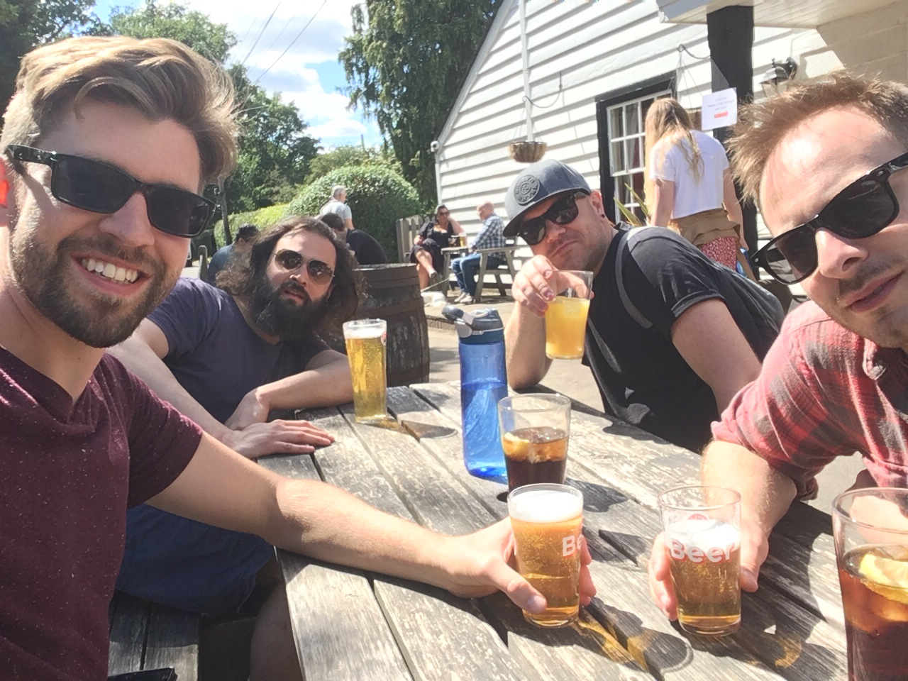
We’re only ten minutes’ walk from the Crooked Billet, and no one particularly wants to part ways without a final drink, with drivers opting for half pints and/or soft drinks. Alan, who’s not driving but has run out of cans, of course treats himself to a pint, and why not.
(Note that Nick from my guitar class recognised the Crooked Billet from the first photo alone, which is very impressive.)
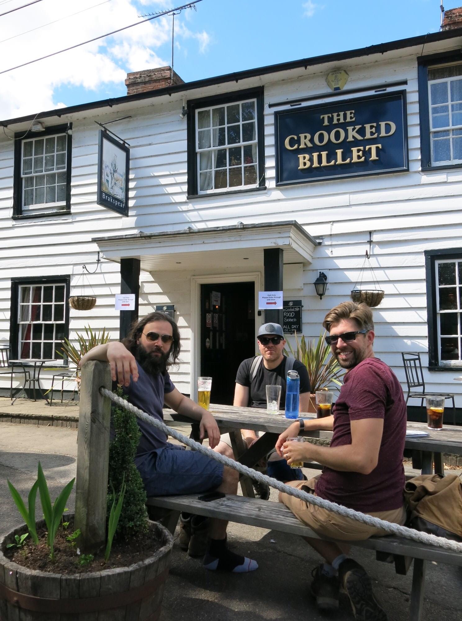
The Crooked Billet is great. Pre-apocalypse it would’ve been a dream, but even now it was just what we needed. The staff handled us all very well, with table service and other measures. Would recommend.
Leaving the pub, we walk past the house of a guy we knew from school. It’s front is gated, it’s an enormous place, and the rumours back in the day were that his dad was a Columbian druglord (even though they were Portugese) or something like that. All I remembered was that I went there once to buy a Nokia 7110 phone off him when I was in sixth form. It had a snap open cover but like those phones in the Matrix, and sixteen year old Nick was a huge Matrix fan. The phone broke, by the way. There’s seventy quid I never saw again.
Getting to the end of Honey Hill, I realise the Crooked Billet was only about a twenty minute walk from where I grew up. Why didn’t we go there in our younger days? I chalk it up to hindsight and mistaken priorities as a youth.
We head back to the cars, having sent poor John more than enough pictures of us in the pub. Soon after I get a message from Jen, who’s survived a day at Legoland with our (very excited) nephew. She’s questioning why she didn’t bring cans of premix, which in retrospect probably would’ve been a great idea.
I check my run tracker app as our group part ways. 17.24km. Not too bad for a little walk.
